
A Quiet Hurricane Season Could Deepen Drought Concerns Across the South and Southeast
Why fewer hurricanes can matter for rainfall
A below-average hurricane season forecast can sound like unambiguously good news. Fewer storms typically means fewer landfalls, fewer evacuations, and less risk of wind and storm-surge damage. But in parts of the South and Southeast, tropical systems also play a complicated role in the water budget. When drought is expanding, the absence of tropical rainfall can become another stressor—especially if summer precipitation trends are already leaning dry.
The current concern centers on the combination of a strong El Niño forecast to develop in the coming months and the tendency for El Niño to coincide with fewer Atlantic hurricanes. While no one wants a tropical system to make landfall, tropical storms and hurricanes can deliver beneficial rain to a large portion of the South and Southeast. In some years, that rainfall can make a meaningful difference in seasonal totals.
The “best-case” storm is not a contradiction
It may seem counterintuitive to describe any hurricane as “best-case,” but meteorologists often discuss a scenario that brings rain without bringing widespread destruction. The ideal outcome, from a rainfall perspective, is a tropical storm or weak hurricane moving at a moderate pace—one that drops a reasonable amount of rain in a reasonable amount of time. In that scenario, the storm contributes to annual precipitation without creating a major disruption to everyday life.
This idea is similar to the way the western United States sometimes views atmospheric rivers: potentially hazardous, but also capable of delivering much-needed moisture. The key is balance. Too little rain does not ease drought. Too much rain too quickly can cause flooding, damage, and long-term recovery challenges.
How much precipitation can tropical systems provide?
Across the southern region, tropical systems can account for anywhere from about 10% to nearly 30% of seasonal precipitation. The share is not uniform, and it can swing widely depending on the year and the track of individual storms. Still, the contribution is large enough that a quieter season can remove one of the more reliable pathways for summer moisture.
Florida, Louisiana, and North Carolina are among the states with the highest typical shares, with tropical systems contributing roughly 20% to 30% of seasonal precipitation. That statistic comes with an important caveat: each storm and each season can vary substantially. One year’s “tropical contribution” might come from several moderate rain events, while another year’s might be dominated by a single high-impact system.
Drought conditions have expanded sharply
The rainfall question is landing at a time when the ground is already parched across much of the Southern Tier of the United States. Drought coverage has expanded dramatically compared with a year ago.
Nearly 75% of the Southeast is experiencing “severe drought,” up from about 3% a year ago.
In the South, 86% of the region is in drought conditions, up from roughly 35% a year ago.
Those figures underscore why forecasters and water managers pay attention not only to storm counts, but also to the broader precipitation outlook. When drought is widespread, the region has less margin for error. Missing out on a few typical rainmakers—whether from tropical systems or other patterns—can have outsized effects on soil moisture, vegetation stress, and water availability.
Summer precipitation outlooks add to the concern
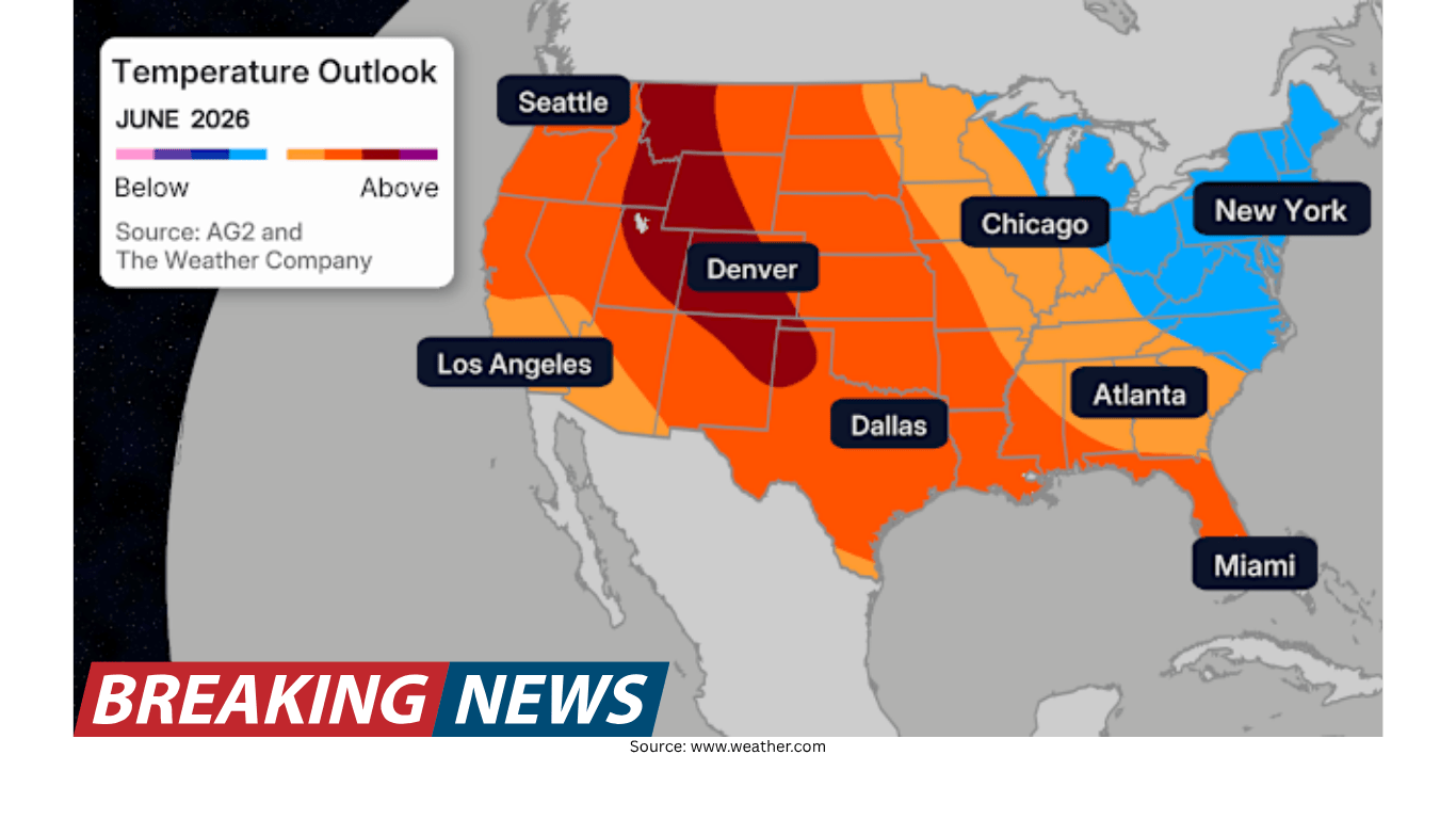
Long-term precipitation forecasts are not offering much reassurance for the South and Southeast. A precipitation forecast for June through August calls for below-average rainfall across these regions. While the same outlook anticipates wetter conditions for May and June, the forecast is notably lacking in rainfall during the height of summer.
That timing matters. Summer is often when heat and evaporation rates are high, and when rainfall deficits can compound quickly. If the core of the summer season trends drier than average—and if tropical systems are less frequent—drought conditions could become more difficult to reverse.
El Niño’s role in hurricane activity
El Niño is frequently discussed in seasonal hurricane outlooks because of its historical relationship with Atlantic storm development. In “super” El Niño years, there have been many fewer hurricanes than in years that are not defined as “super.” The implication is not that hurricanes disappear, but that the overall environment can be less favorable for frequent development.
Storm tracks also tend to show patterns in where landfalls have typically occurred during certain El Niño configurations. However, historical tendencies are not guarantees. Seasonal outlooks describe probabilities across a basin, not certainties for any given coastline.
Fewer storms does not mean no risk
Even in a season forecast to be less active, impactful storms can still happen. It only takes one storm to make a season feel busy for a community. And it does not necessarily need to be a tropical system to create catastrophic flooding.
This is an important distinction for preparedness messaging. When the public hears “below-average hurricane season,” it can be tempting to relax. But the hazards that matter most—flooding rain, prolonged power outages, and localized wind damage—can still occur with a single landfalling storm or even with non-tropical weather systems.
A reminder from the 2016 Louisiana floods
The 2016 Louisiana floods are often referenced as a case study in how extreme rainfall can occur without a named tropical cyclone. The event was driven by a slow-moving, non-tropical system that moved through Aug. 9–13 and produced extraordinary rainfall across southern Louisiana.
In Watson, Louisiana—about 20 miles northeast of Baton Rouge—31.39 inches of rain fell during the event. Areas around Livingston received more than 2 feet of rainfall. The Amite River crested 5 feet above the previous record, spilling water into nearby towns.
Meteorologists said the event was fueled by a combination of well-above-average ocean temperatures in the Gulf and record levels of precipitable water values in the region. The storm sat nearly stationary for several days, producing more rainfall than the area had ever seen before.
The takeaway is not that every summer will produce such an event, but that “quiet” hurricane seasons do not eliminate the possibility of major flooding. Rainfall extremes can arise from multiple atmospheric setups.
What a quieter season could mean for drought relief
In drought-stricken parts of the South and Southeast, tropical systems can be a double-edged sword: they can bring high-impact hazards, but they can also deliver widespread rain that helps improve seasonal precipitation totals. If El Niño contributes to a lower number of hurricanes, the region may have fewer chances to receive that kind of broad, soaking rainfall.
Because tropical systems can contribute 10% to nearly 30% of seasonal precipitation across the southern region—and 20% to 30% in states such as Florida, Louisiana, and North Carolina—a reduction in storm frequency can translate into a meaningful missing piece of the rainfall puzzle. That concern becomes sharper when paired with a summer precipitation forecast that leans below average.
Preparedness still matters—every year
Seasonal forecasts are useful for understanding the broader pattern, but they do not change the basic rule of hurricane season: preparation should be consistent year to year. A lower storm count does not protect any one community from the possibility of a landfalling tropical storm or hurricane, and it does not prevent non-tropical systems from producing extreme rainfall.
For families and communities across the South and Southeast, that means staying ready even if the season is expected to be quieter overall. The same atmosphere that may limit hurricane development can still produce high-impact weather, and the same drought that makes rainfall desirable can also make flooding more dangerous when rain arrives too quickly.
Key points at a glance
Tropical systems can provide a significant share of seasonal precipitation across the southern U.S., ranging from about 10% to nearly 30%.
Florida, Louisiana, and North Carolina often see the highest shares, around 20% to 30%, though storm-to-storm variability is substantial.
Drought coverage has expanded sharply compared with a year ago: nearly 75% of the Southeast is in severe drought, and 86% of the South is in drought conditions.
A precipitation outlook for June through August indicates below-average rainfall for the South and Southeast, even with wetter conditions forecast for May and June.
“Super” El Niño years have historically seen fewer hurricanes, but a quiet season can still include high-impact events.
The 2016 Louisiana floods show that catastrophic rainfall can occur from a slow-moving, non-tropical system.
In short, a quieter hurricane season may reduce one pathway for drought-relieving rain at a time when the South and Southeast are already dealing with widespread dryness. At the same time, the risk of damaging rainfall is not limited to tropical cyclones, reinforcing why preparedness remains essential regardless of seasonal storm counts.