
Midwest Braces for Another Round of Severe Storms as Weekend Begins
Severe weather forecast returns to the Midwest
Another bout of severe weather is in the forecast for the Midwest on Friday, with attention centered on a tornado threat. The setup is expected to develop as the weekend begins, and forecasters are emphasizing that conditions may be favorable for storms capable of producing damaging impacts.
In the latest outlook, Iowa and Missouri are identified as being in the bullseye for tornadoes. While severe weather can affect a broader region, the focus on these two states reflects where the ingredients are most likely to come together in a way that supports rotating storms.
Iowa and Missouri in the spotlight
Forecast messaging for Friday places Iowa and Missouri at the center of concern. When meteorologists describe an area as being in the “bullseye,” it generally means that multiple elements associated with severe thunderstorms are expected to overlap there more clearly than in surrounding areas.
That does not mean severe weather is guaranteed at every location in those states, nor does it mean other nearby states are automatically in the clear. But it does signal that residents and travelers in Iowa and Missouri should pay close attention to updates as the day approaches and as storms begin to develop.
Why the timing matters: a weekend-starting threat
The forecast period is notable because it arrives at the start of the weekend. Severe weather timing can influence how people receive warnings and how quickly they can respond, particularly if they are traveling, attending events, or spending time outdoors.
Even when the threat is well-communicated, the early weekend period can be a time when routines change. That makes it especially important for people in the highlighted area to stay aware of evolving conditions and to have a plan for receiving alerts if storms approach.
How meteorologists describe the setup
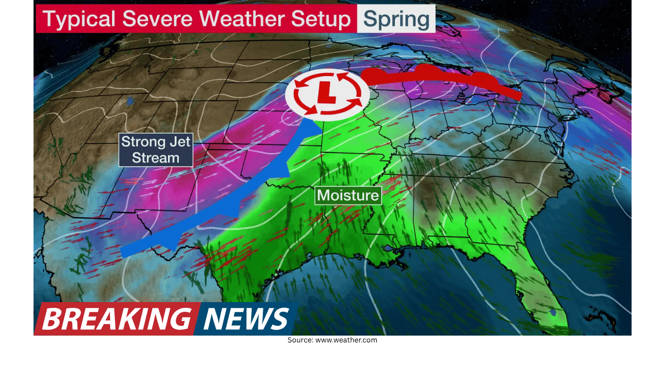
Meteorologist Rob Shackelford has outlined the threat for Friday and explained why the ingredients are coming together. In severe weather forecasting, the phrase “ingredients coming together” is a shorthand way of describing how atmospheric conditions can align to support thunderstorm development and intensification.
When those ingredients overlap in the right way, storms can become strong enough to produce severe hazards. In this case, the primary concern being emphasized is tornado potential, which typically requires not only thunderstorms but also an environment supportive of storm rotation.
What “ingredients” means in practical terms
Forecast discussions often refer to “ingredients” rather than focusing on a single factor. That is because severe weather is rarely driven by just one element. Instead, it tends to emerge when multiple atmospheric features align at the same time and place.
While the specific technical breakdown can vary by event, the key takeaway from the current forecast is straightforward: conditions expected on Friday may favor severe storms, and the overlap of those conditions is expected to be most pronounced in Iowa and Missouri.
Tornado risk: what the forecast is emphasizing
The mention of Iowa and Missouri being in the bullseye for tornadoes is the most direct signal in the forecast narrative. Tornadoes are among the most dangerous outcomes of severe thunderstorms, and any forecast that highlights tornado potential deserves close attention.
It is also important to understand what a tornado-focused forecast does and does not imply. It indicates that thunderstorms capable of producing tornadoes are possible in the highlighted area. It does not mean every storm will be tornadic, and it does not mean tornadoes will occur everywhere. But it does mean the environment may support them, which is why preparedness and situational awareness are critical.
Severe storms can bring more than one hazard
Although the forecast discussion is centered on tornadoes, severe storm setups often involve multiple hazards. The same storms that can produce tornadoes can also bring other dangerous conditions, depending on how storms evolve through the day.
Because the forecast points to a renewed severe weather threat, the broader message is that Friday could bring storms that require quick action if warnings are issued. The best approach is to treat the day as one where conditions may change rapidly, especially in the areas highlighted for the greatest risk.
Why forecasts highlight specific states
Weather forecasts frequently identify specific states or regions when risk is not evenly distributed. In this case, Iowa and Missouri are singled out as the focal point for tornado potential. That kind of geographic emphasis helps people understand where the overlap of favorable conditions is most likely.
At the same time, severe weather boundaries are not neatly confined to state lines. People in nearby areas may also experience storms, and the exact placement of the highest risk can shift as new data becomes available and as storms begin to form.
What to watch for as Friday approaches
With the forecast calling for severe weather again in the Midwest, the most important practical step is to monitor updates leading into Friday. Severe weather forecasts can evolve as the event gets closer, and the details—such as where storms form first and how they organize—often become clearer on the day of the event.
For those in Iowa and Missouri, being in the bullseye means it is especially important to keep an eye on changing conditions, including any watches or warnings that may be issued as storms develop.
Staying prepared without overreacting
Severe weather preparedness is not about assuming the worst will happen; it is about being ready if it does. When tornado potential is highlighted, readiness can be as simple as knowing where you would go if a warning is issued and ensuring you can receive alerts.
The forecast framing for Friday suggests a day when people should be weather-aware, particularly in the areas most strongly highlighted. That awareness is a practical response to the possibility that storms may intensify quickly once the environment becomes favorable.
A familiar pattern: severe weather “again” in the forecast
The forecast notes that severe weather is “again” expected for the Midwest, indicating this is not an isolated mention but part of an ongoing stretch of active weather. For residents, repeated rounds of severe storms can lead to fatigue, which is why clear, consistent messaging remains important.
Even when severe weather has occurred recently, each new event has its own characteristics. Friday’s setup is being described as one where the ingredients are coming together to start the weekend, with Iowa and Missouri most prominently in focus.
Key takeaways for the Midwest on Friday
Severe weather is forecast for the Midwest on Friday.
Iowa and Missouri are highlighted as being in the bullseye for tornado potential.
The threat is tied to a setup in which the “ingredients” are expected to come together as the weekend begins.
Forecast details can evolve, so monitoring updates is important, especially in the most highlighted areas.
Looking ahead: why updates matter
As with any severe weather forecast, the broad outline can be communicated days in advance, while the most precise details often come into focus closer to the event. The current message is clear: Friday has the potential to bring severe storms to parts of the Midwest, and tornado risk is a key concern for Iowa and Missouri.
For people in the region, the most useful step is to stay informed as the forecast is refined. If the expected ingredients align as anticipated, storms may develop in a way that warrants quick action. The goal is not to be alarmed, but to be ready—especially as the weekend begins and plans may take people away from their usual routines.